The print
This is a high-quality print of a hand-drawn map on premium Archival Matte Paper - a thick, neutral white paper (230g, like card stock) with a smooth surface.
My frames
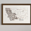
My frames are made from high-quality, solid wood with a walnut veneer. By using veneers, I can provide high-quality, authentic wood frames while keeping costs down.
Each frame is 1 1/4" x 3/4":
Width: 1.25"
Depth: 0.75"
Rabbet: 0.50"
★ My maps come without glazing (clear covering). This way, they're visible in all lighting conditions and can be photographed from any angle without glare.
Note from the artist
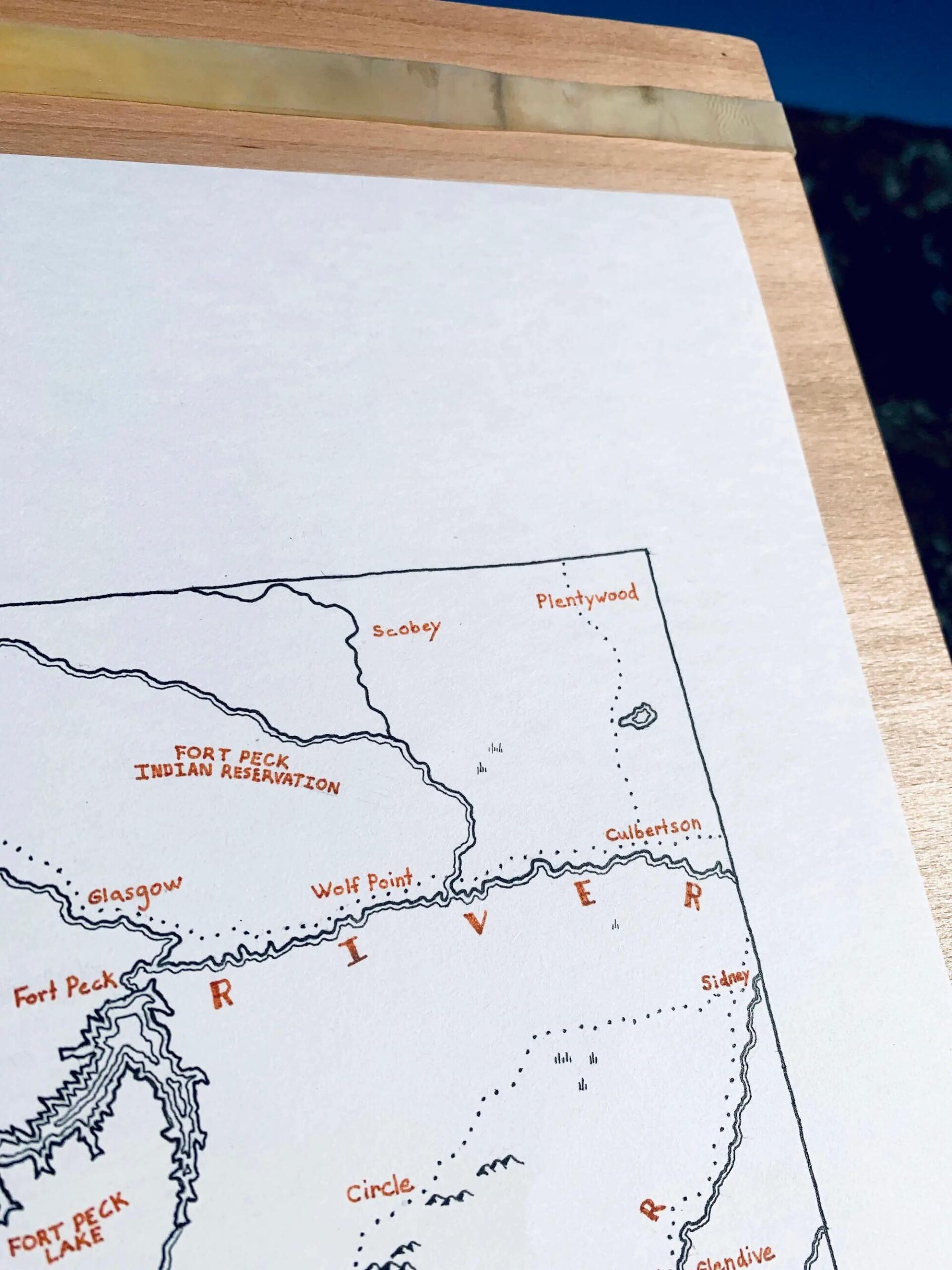
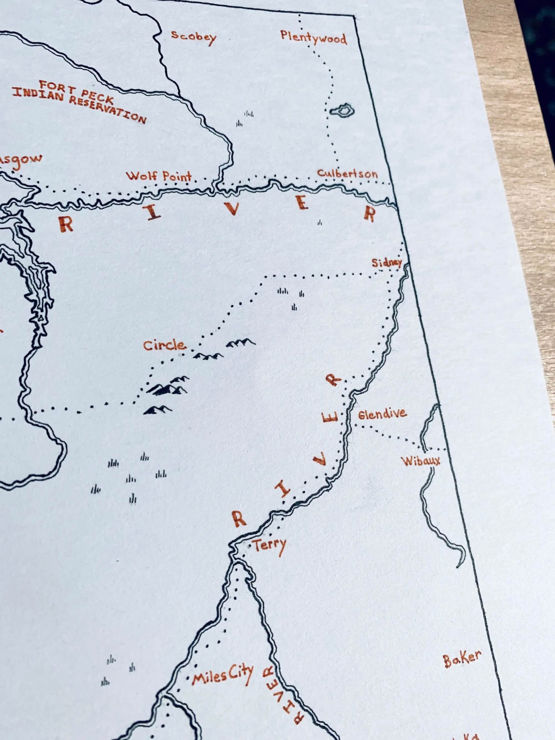
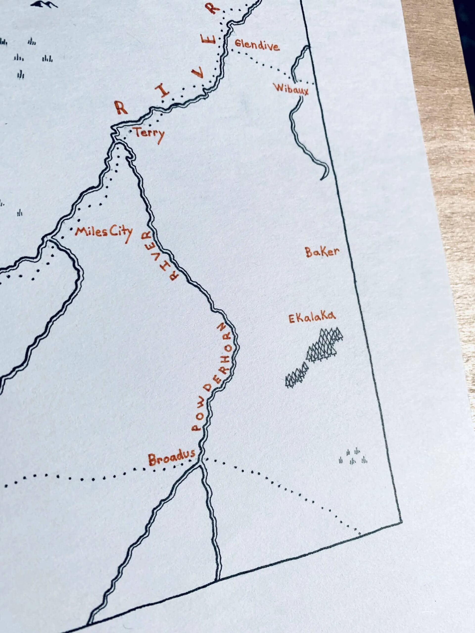
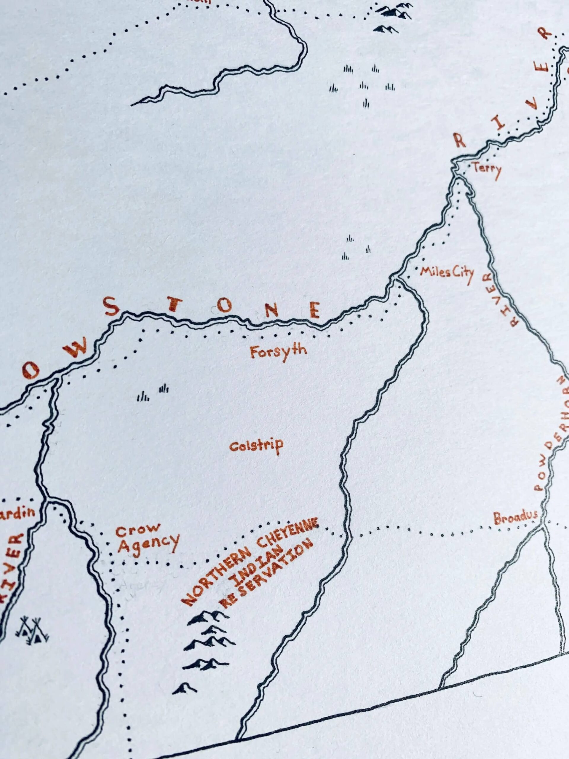
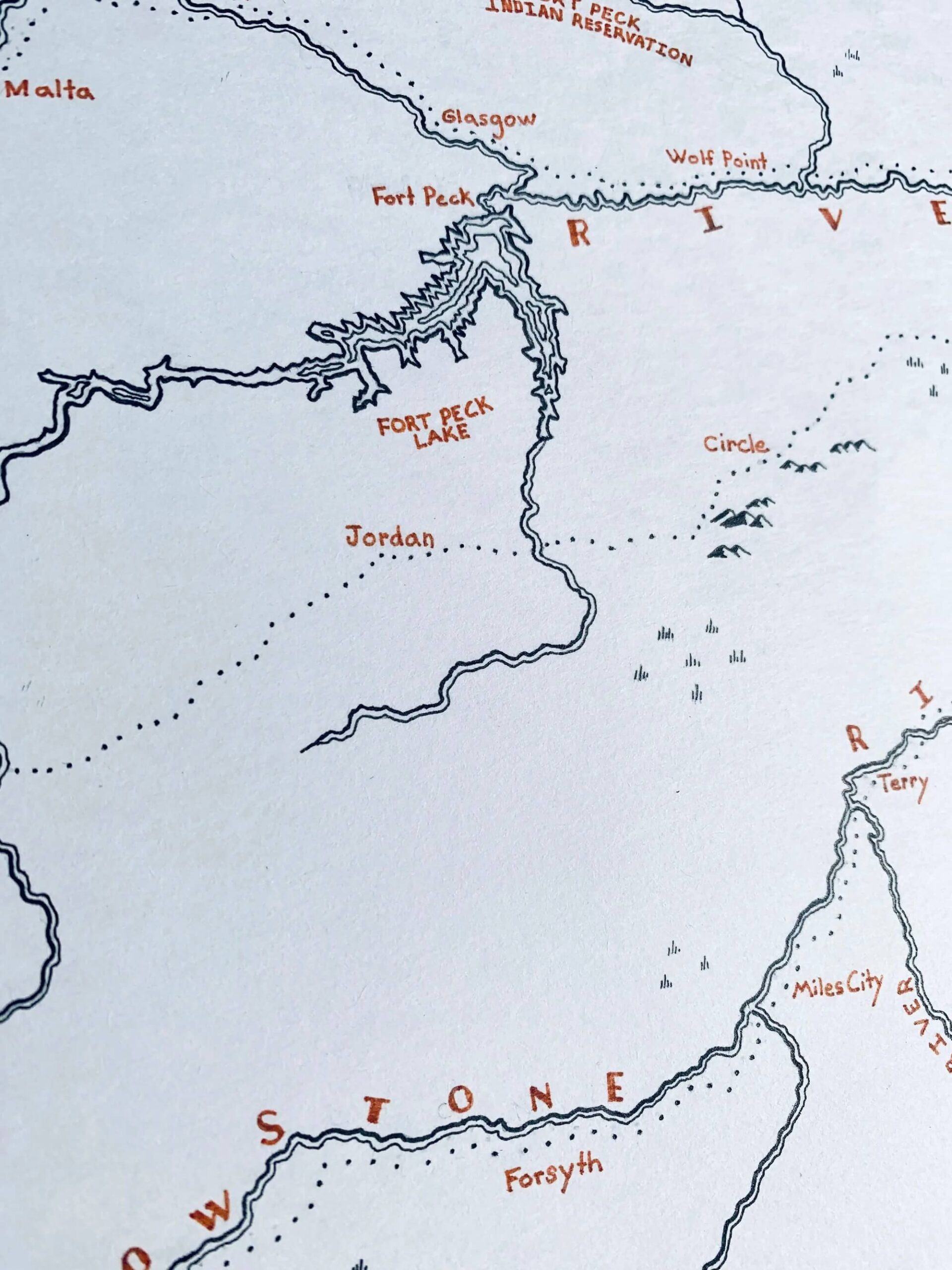
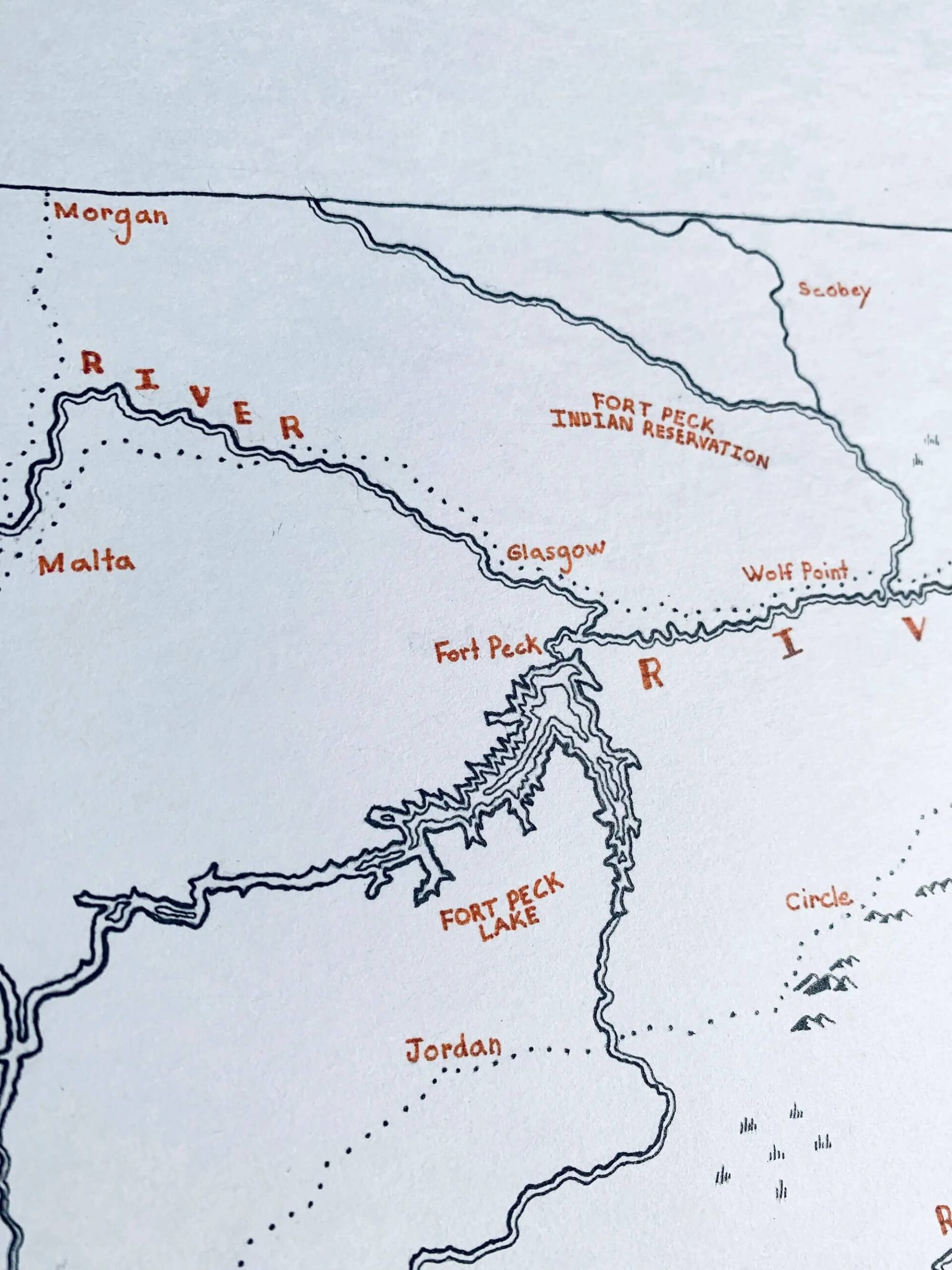
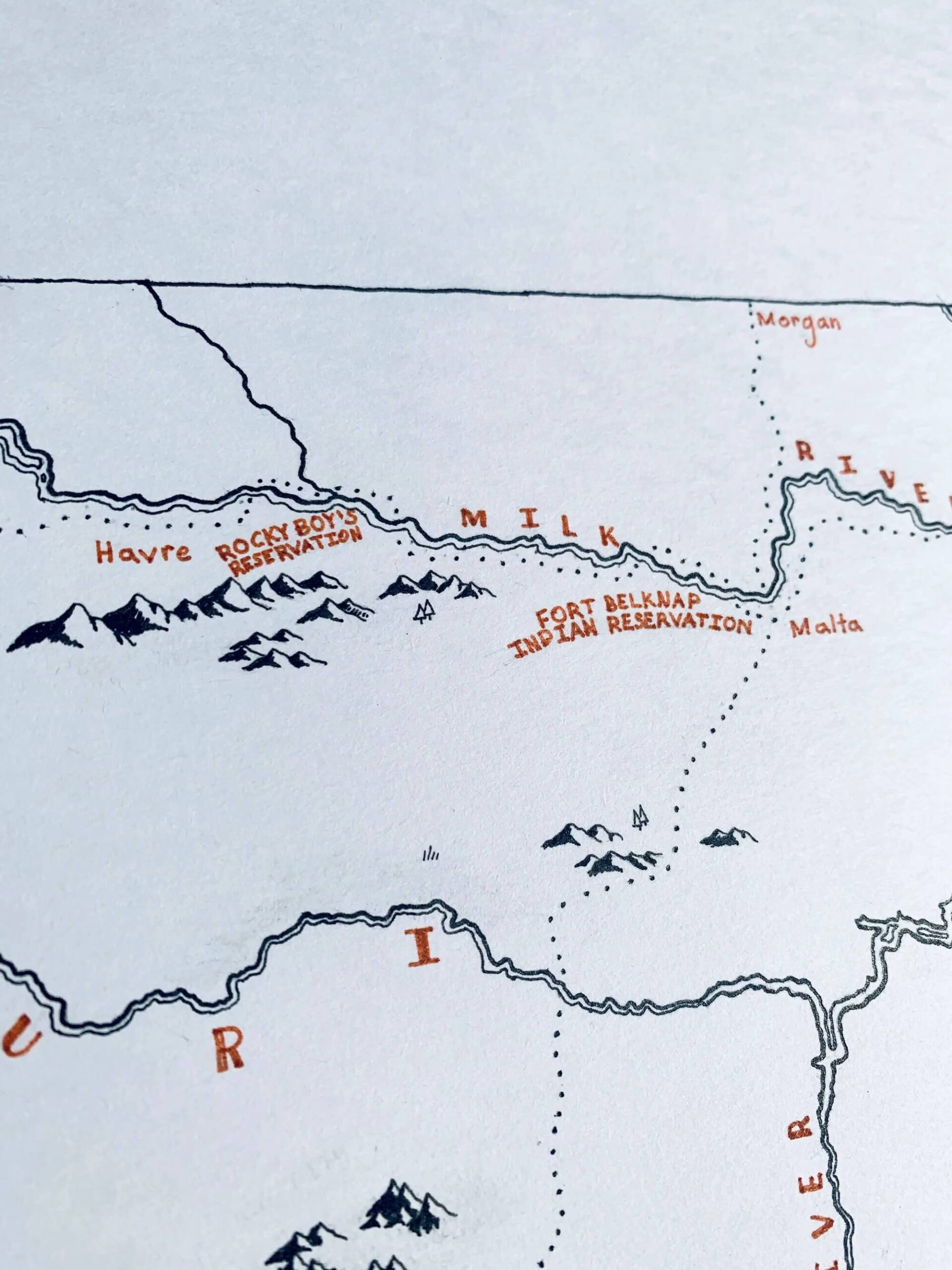
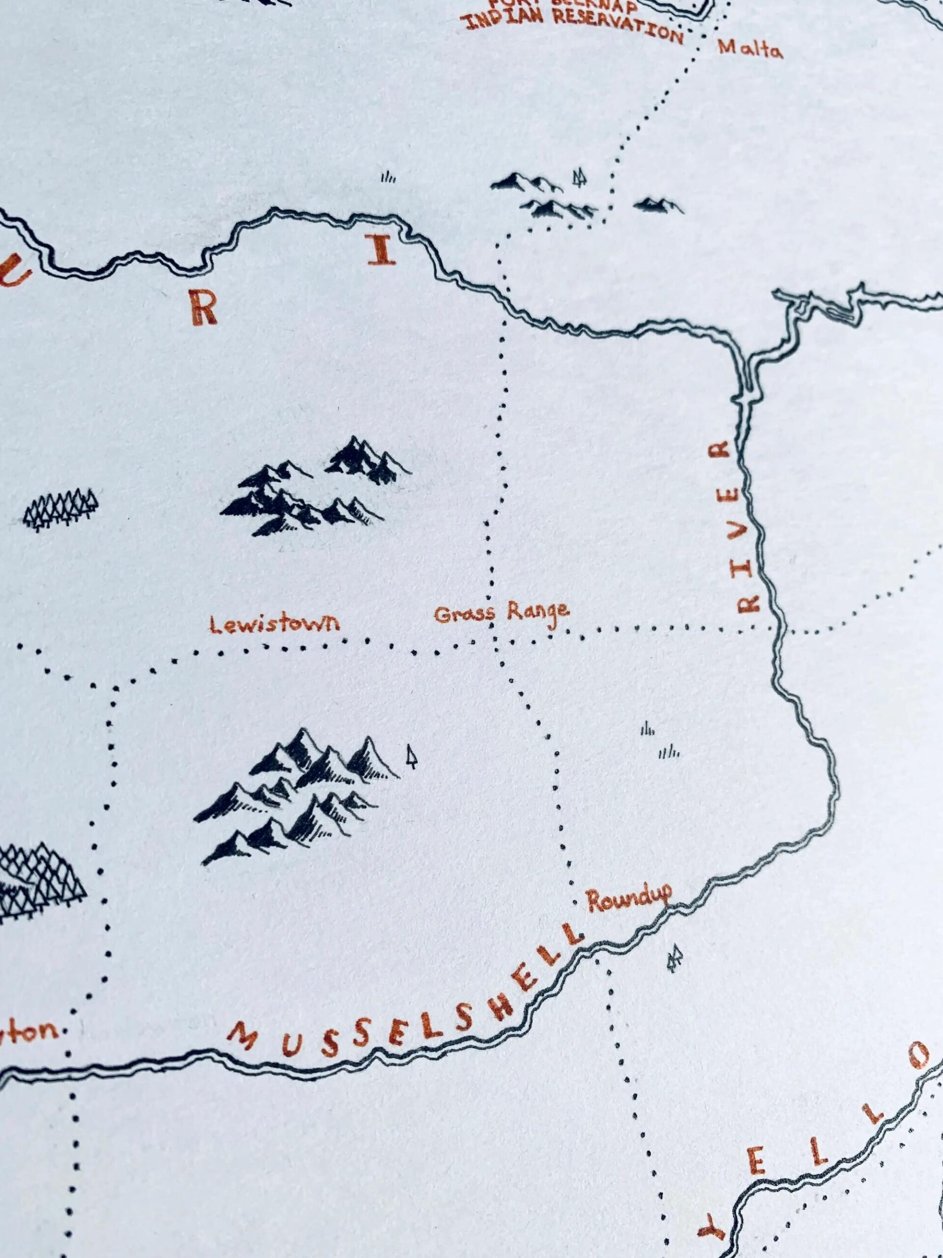
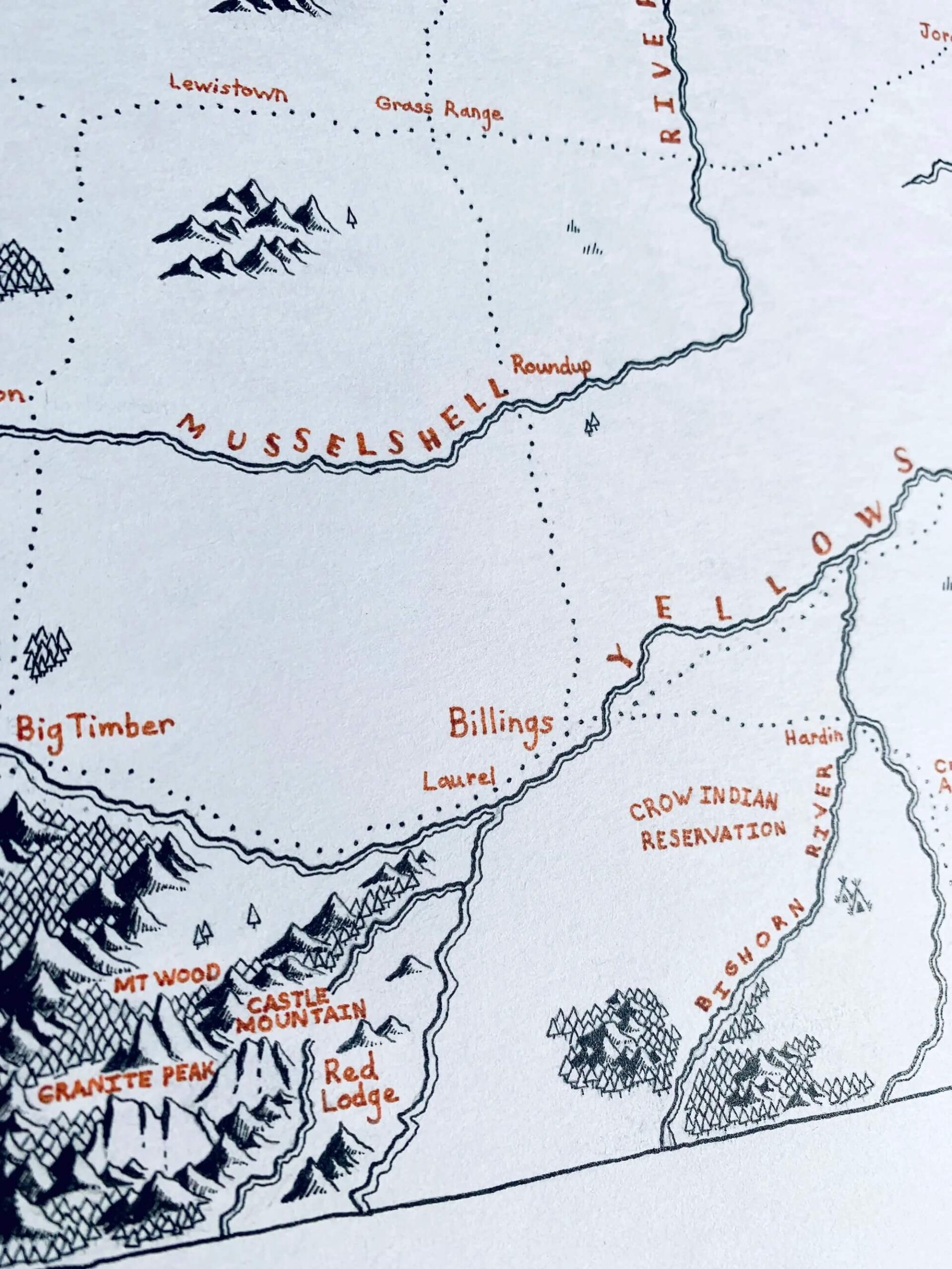
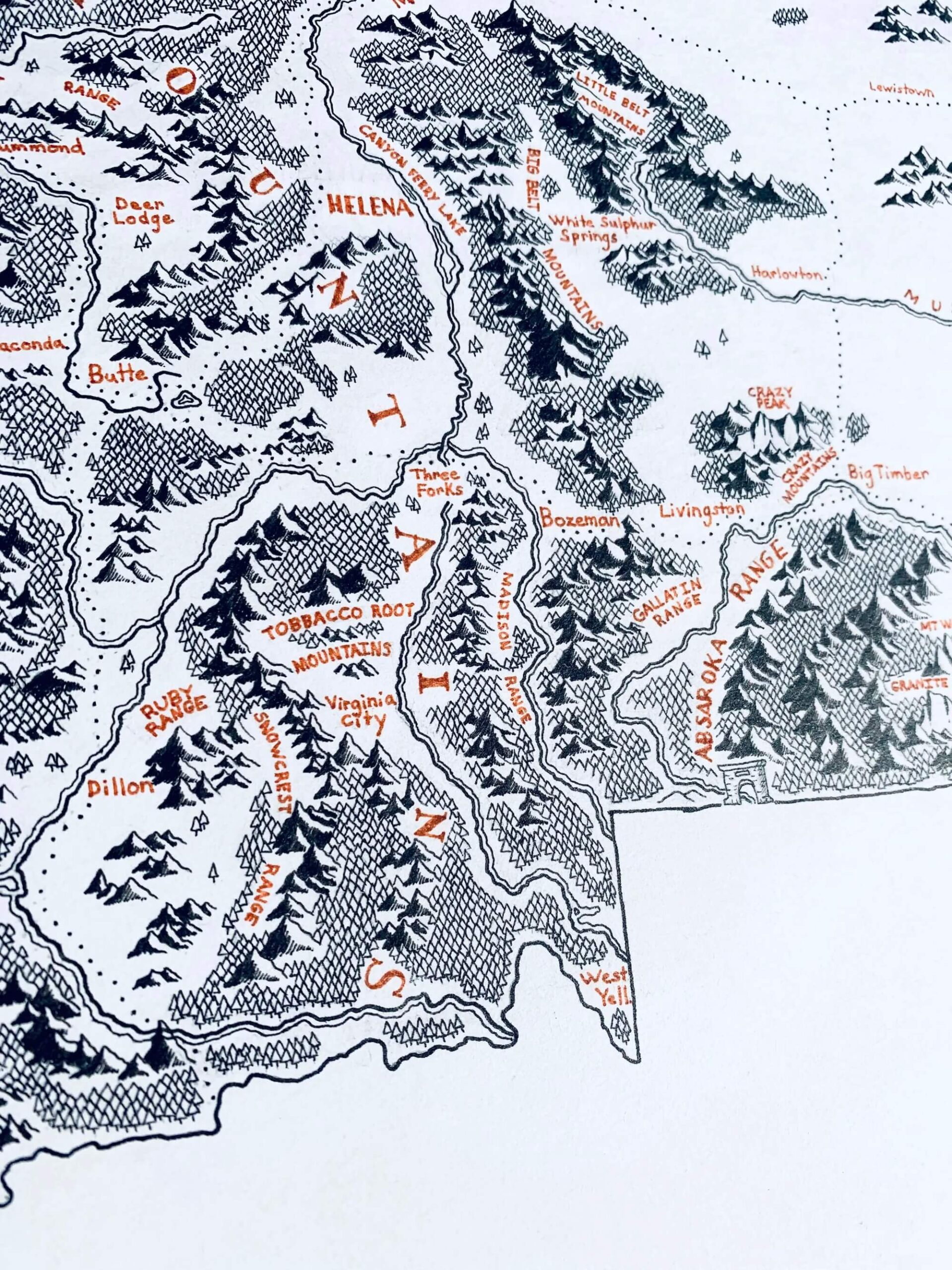
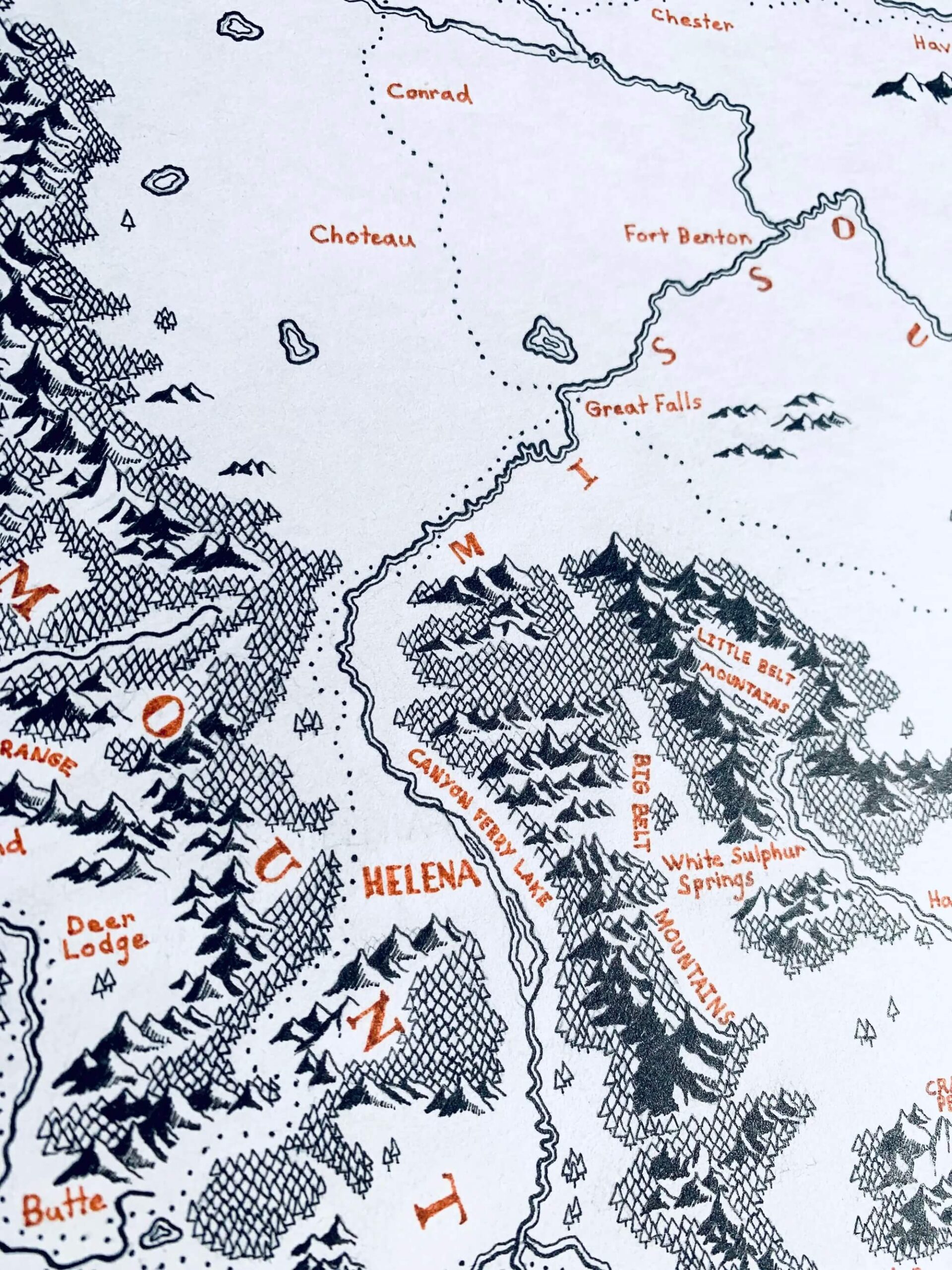
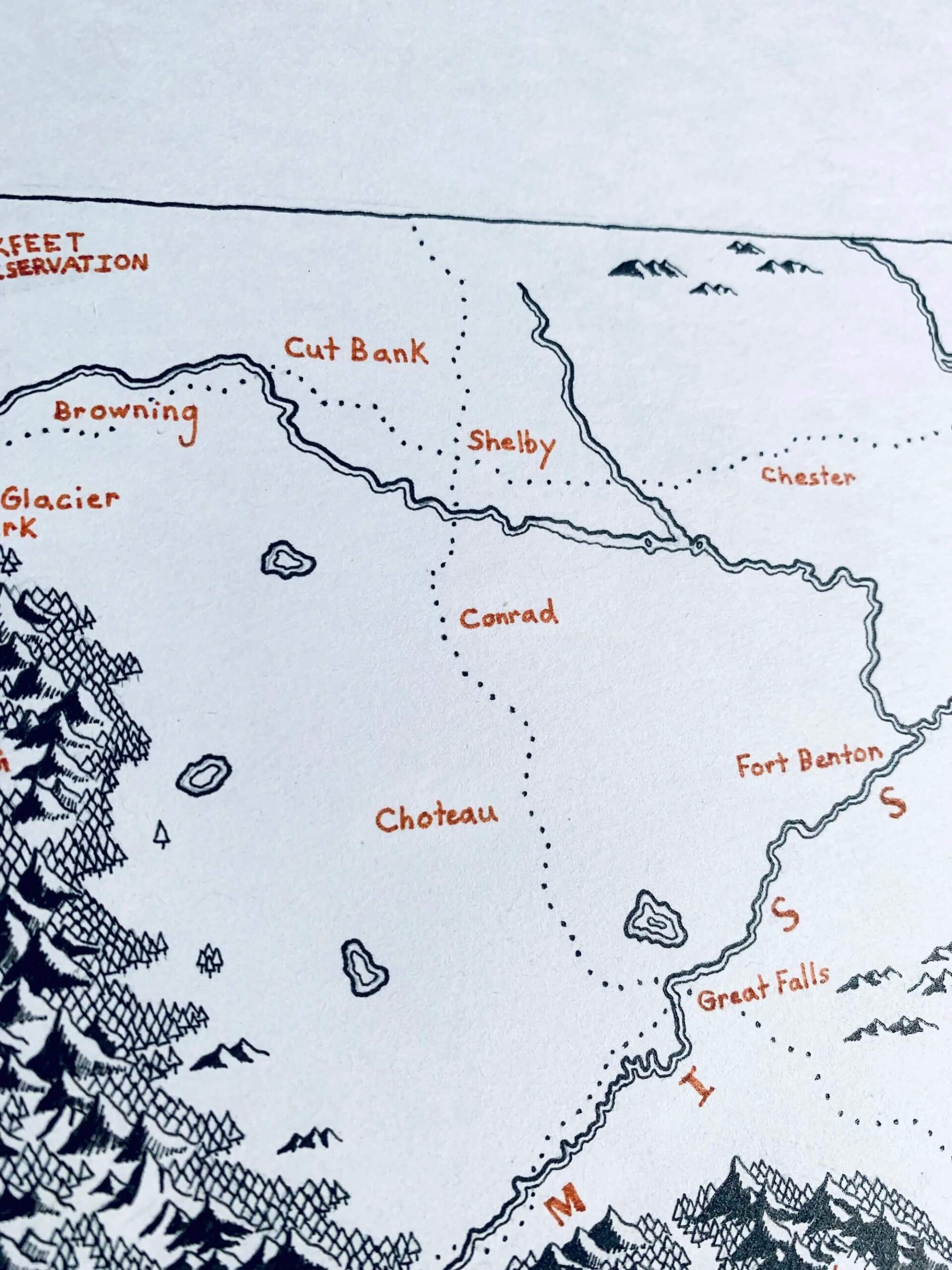
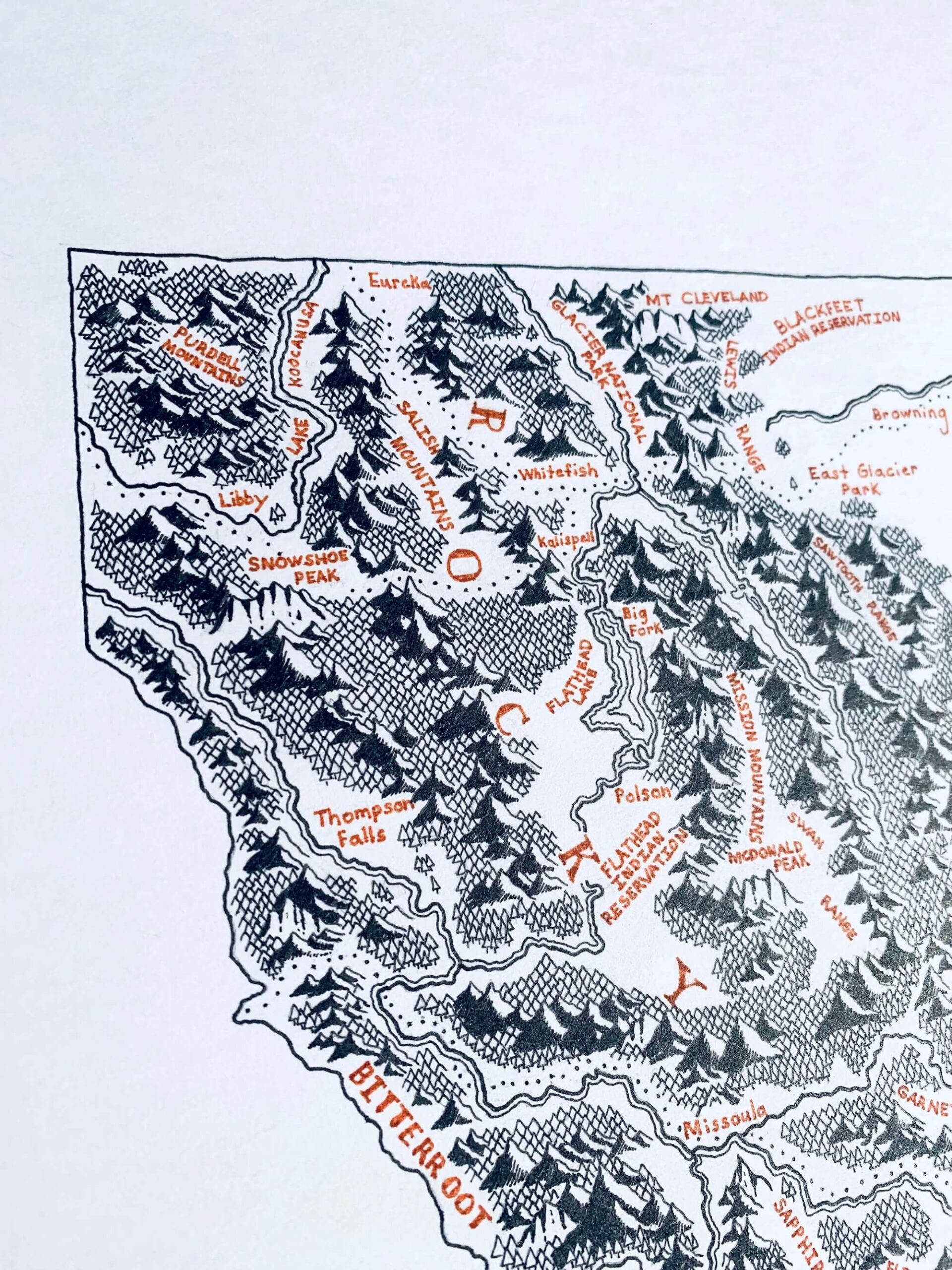
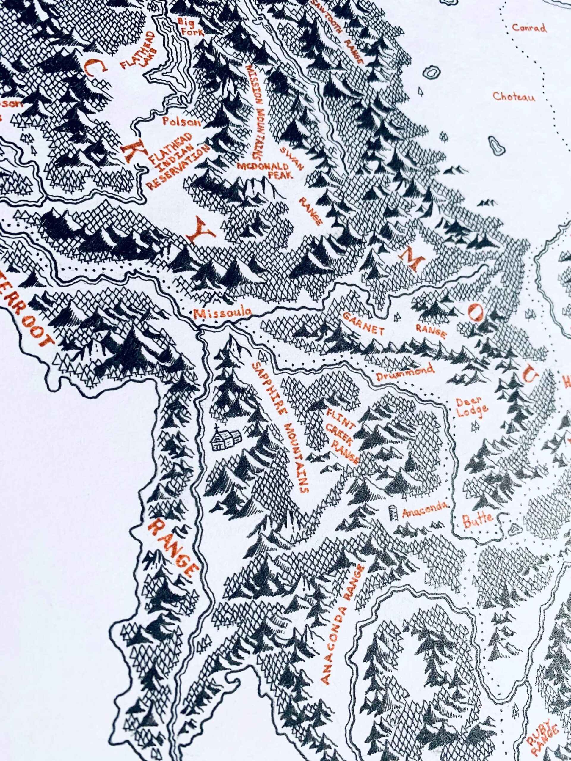
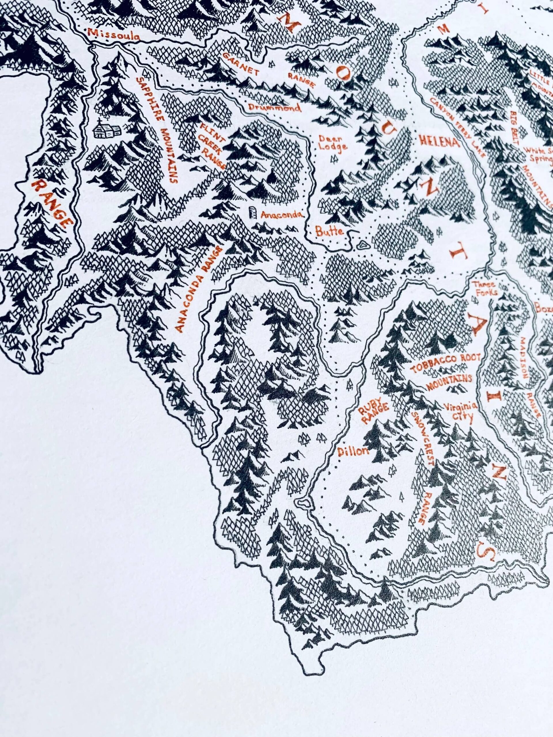
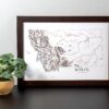
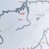
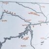
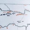
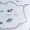
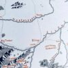
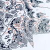
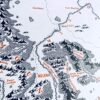
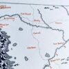
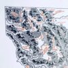
This is my namesake map. It's a detailed and accurate depiction of Montana with plenty of details spread throughout.
Montana's beauty and history are varied. Gold miners first discovered the region in the late 19th century when it was still a part of the Idaho territory. When the railroads reached Montana shortly after, its economy and population boomed. On November 8, 1889, it became the 41st state.
Today, Montana is a sparsely populated agricultural state with its natural landscapes being its main draw. This includes everything from Glacier National Park and Paradise Valley in the west to Fort Peck Lake and the Hell Creek Plateau in the east.
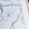
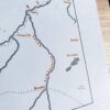
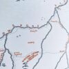
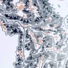
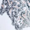
Notable points of interest on this map include the Missoula "M", the Anaconda smoke stack, the Roosevelt Arch, and many more. See if you can find them all.





Reviews
There are no reviews yet.