The print
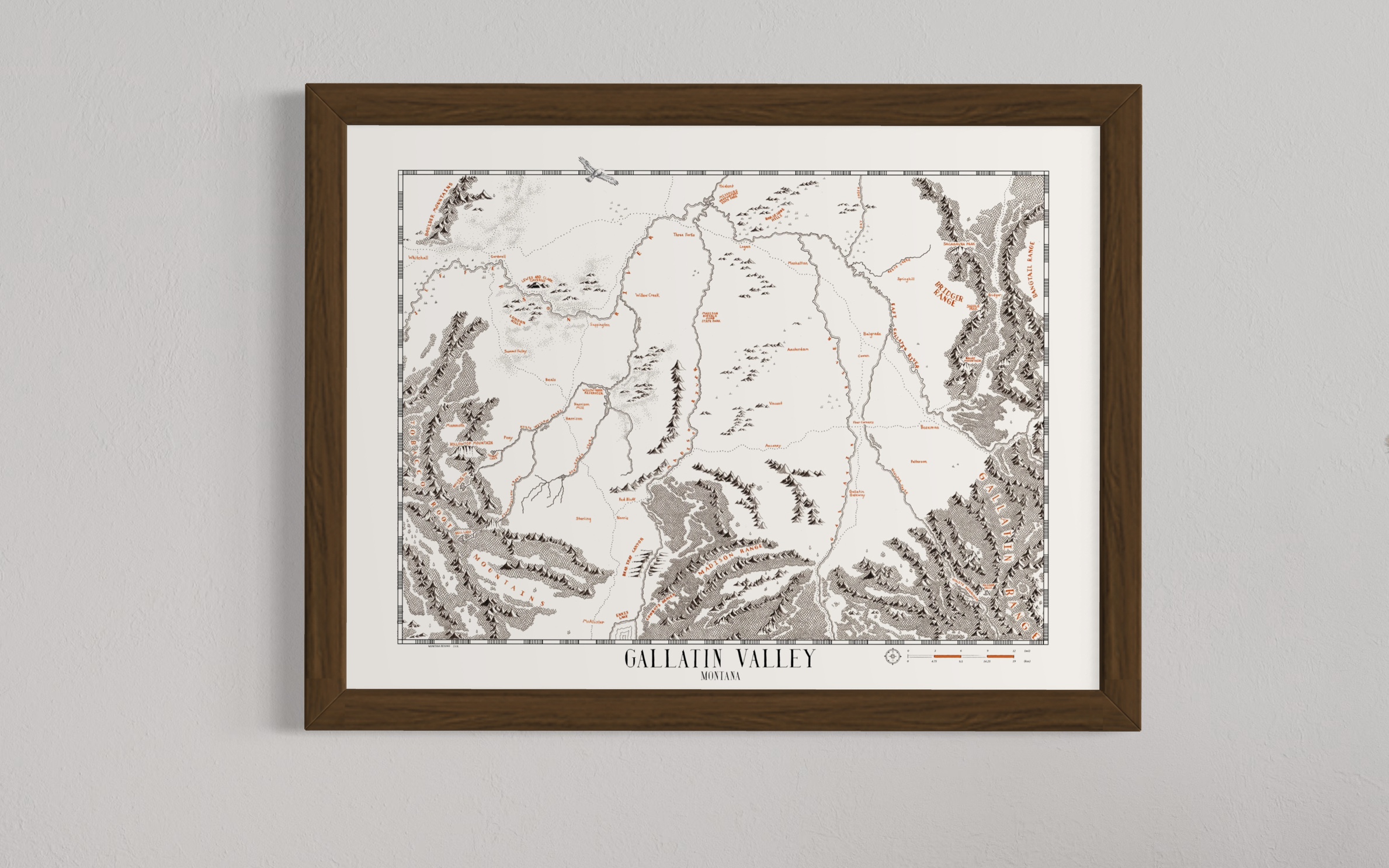
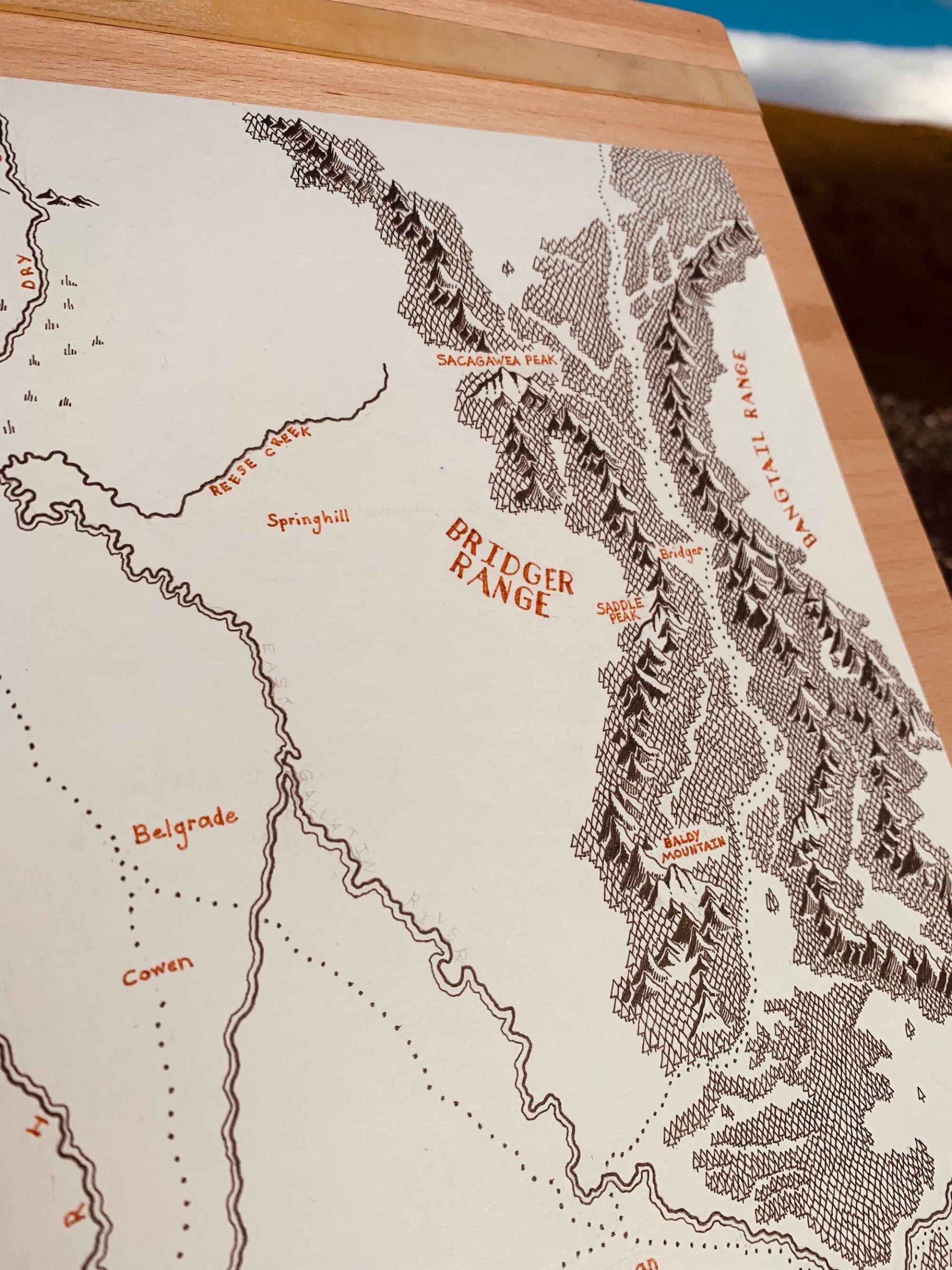
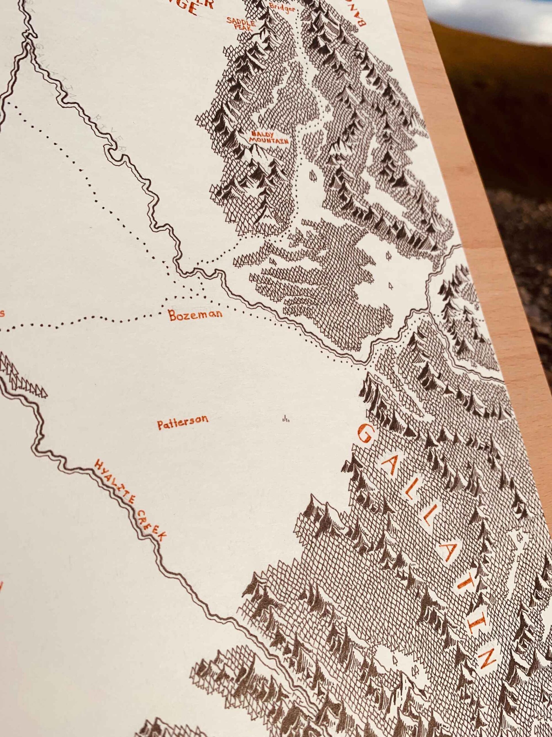
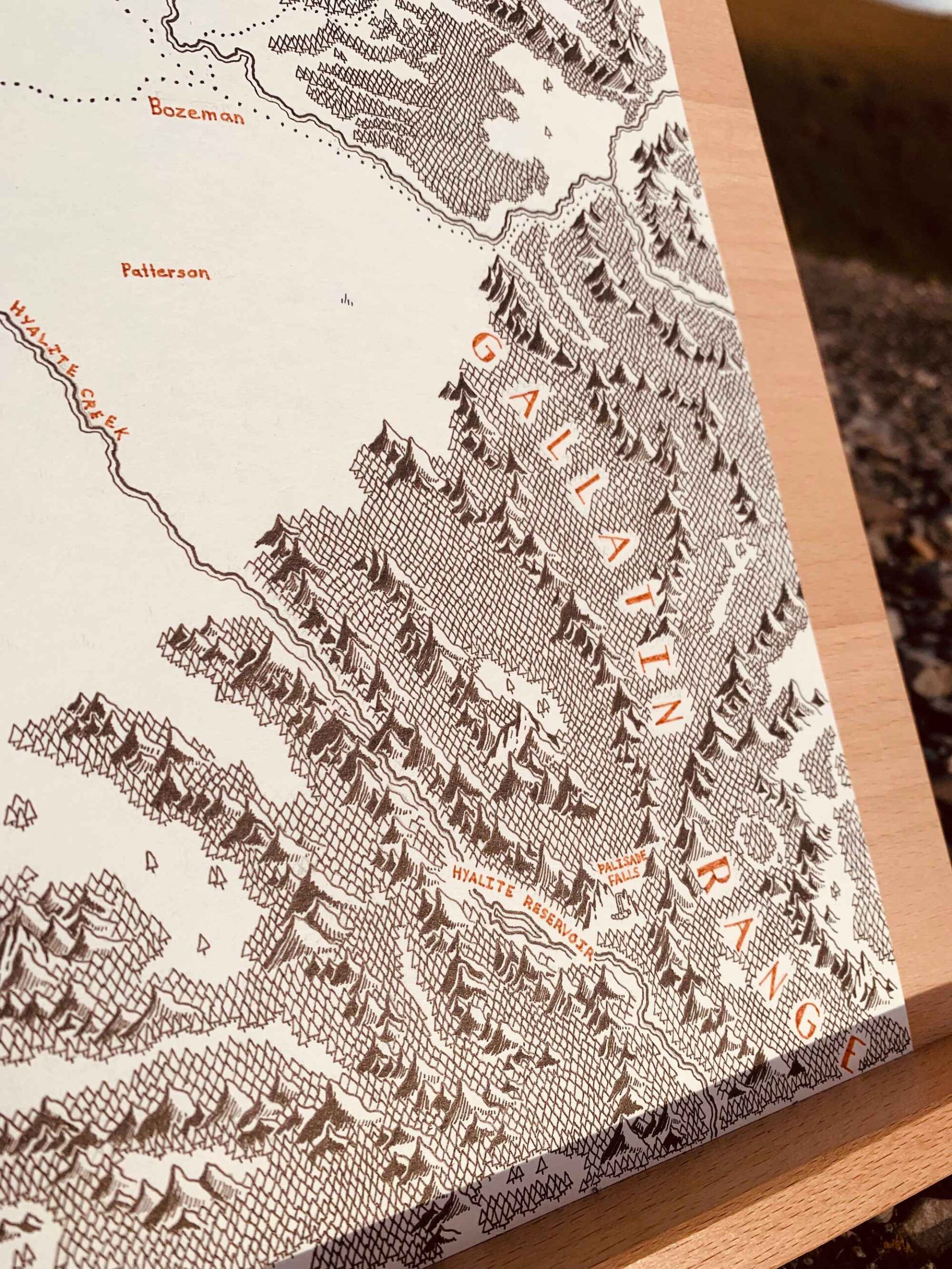
This is a high-quality print of a hand-drawn map on premium Archival Matte Paper - a thick, neutral white paper (230g, like card stock) with a smooth surface.
My frames
My frames are made from high-quality, solid wood with a walnut veneer. By using veneers, I can provide high-quality, authentic wood frames while keeping costs down.
Each frame is 1 1/4" x 3/4":
Width: 1.25"
Depth: 0.75"
Rabbet: 0.50"
★ My maps come without glazing (clear covering). This way, they're visible in all lighting conditions and can be photographed from any angle without glare.
Note from the artist
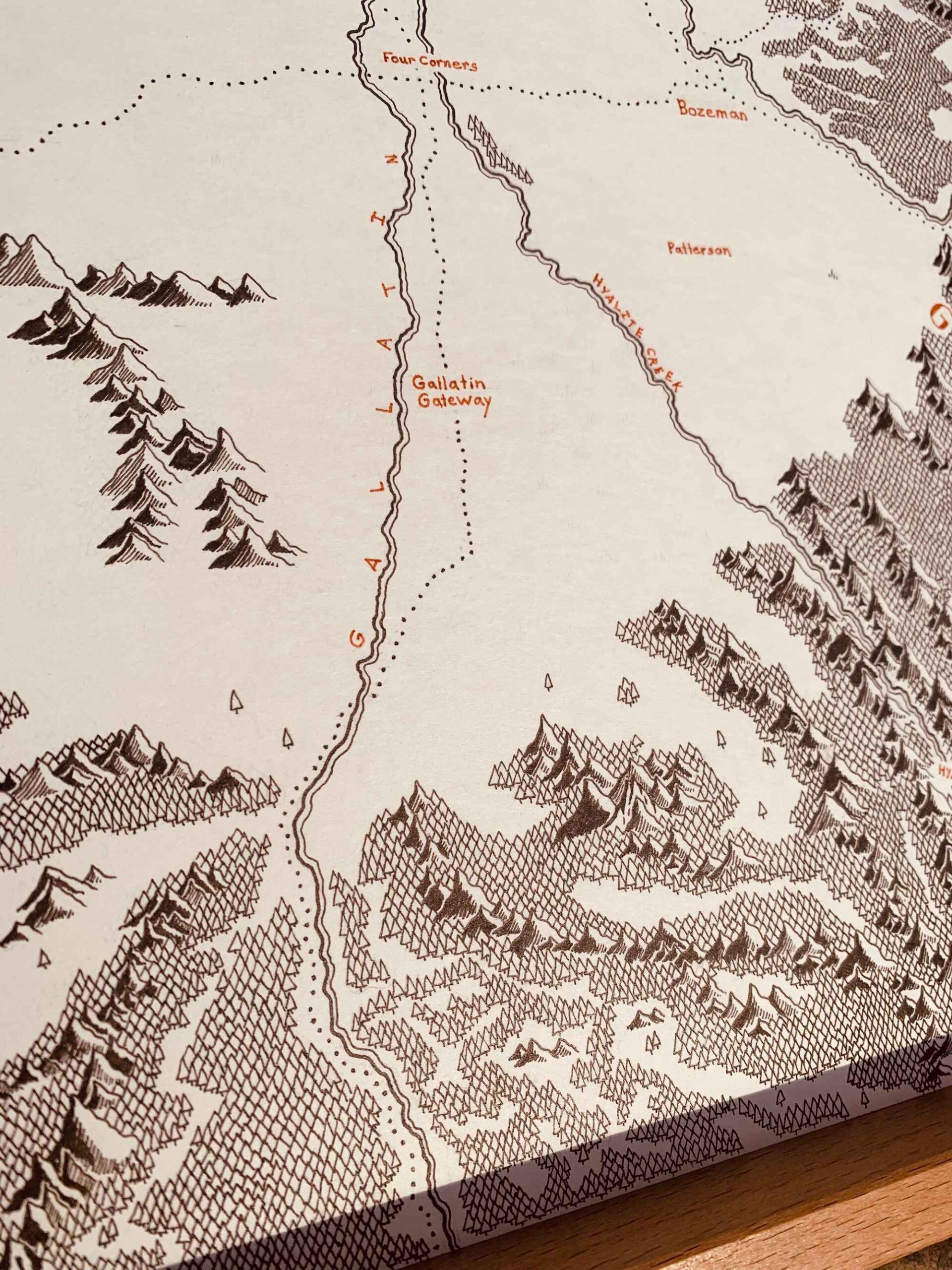
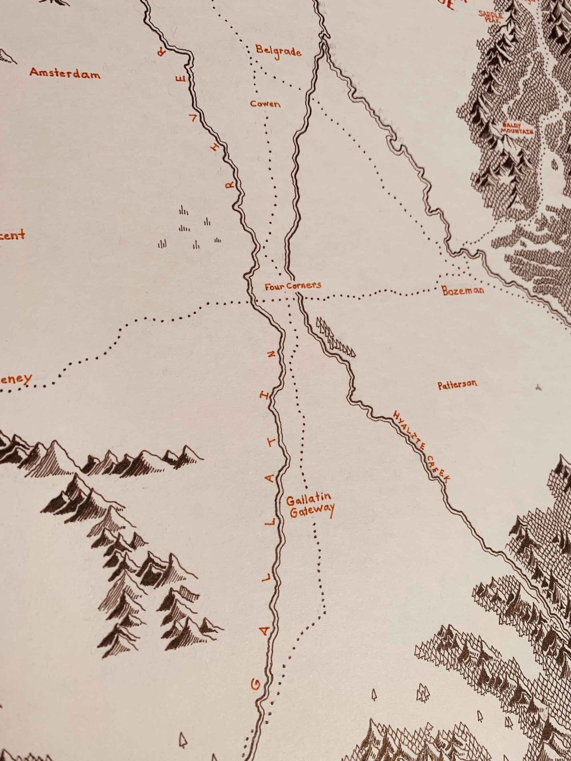
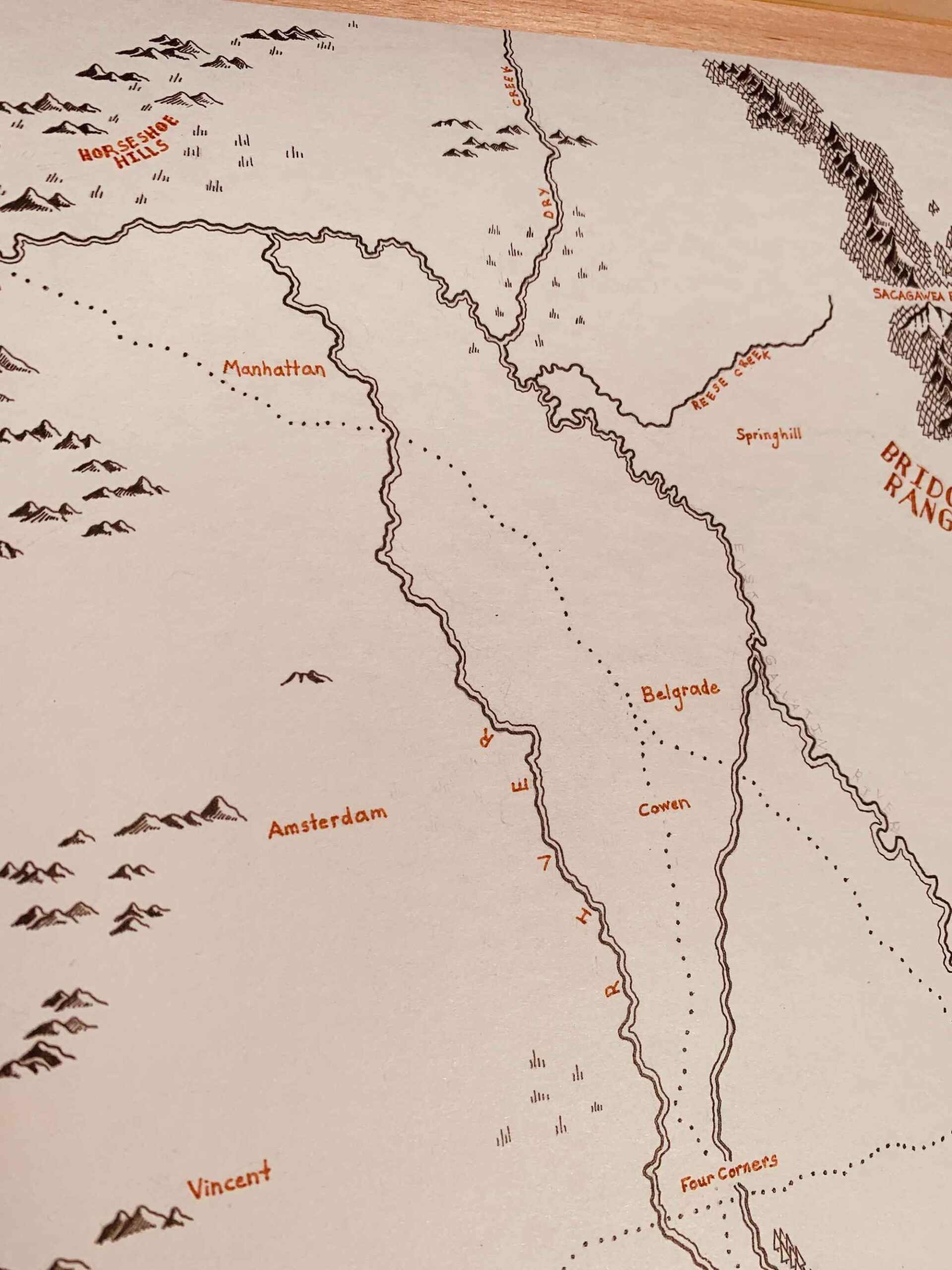
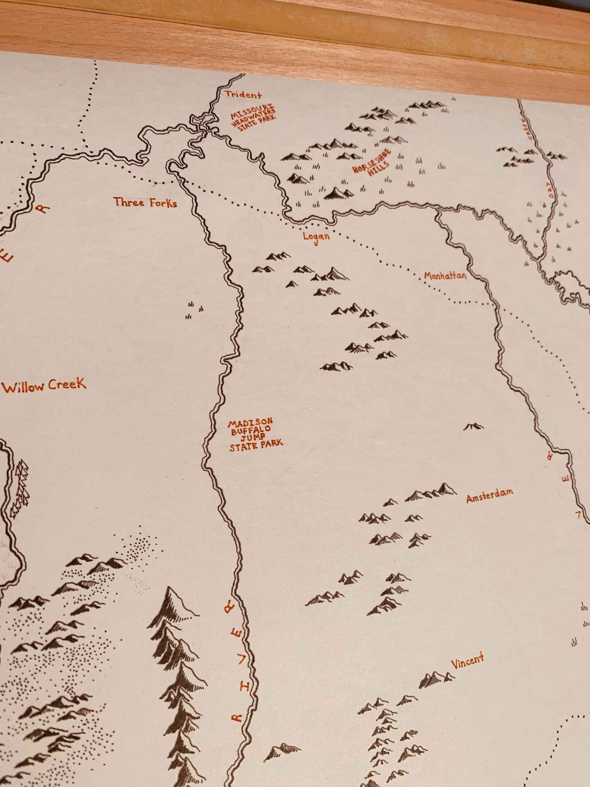
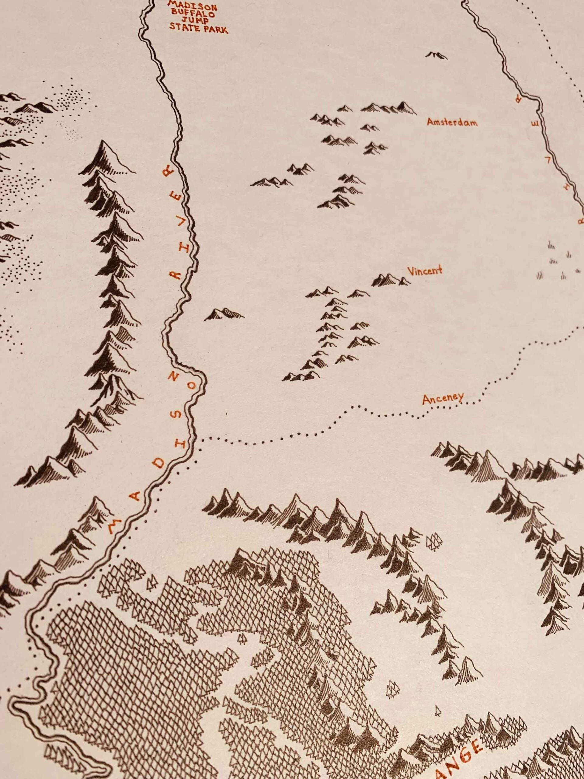
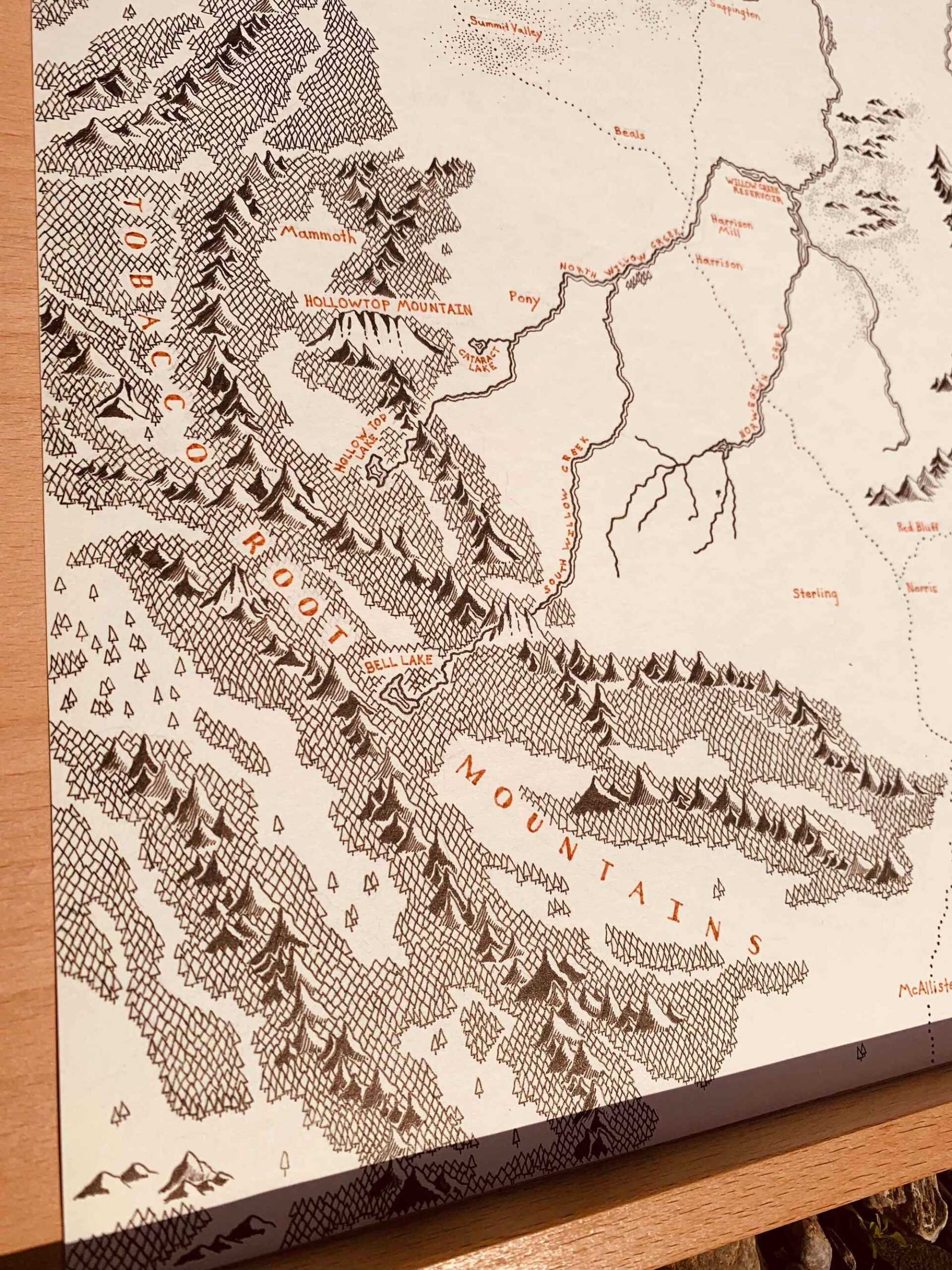
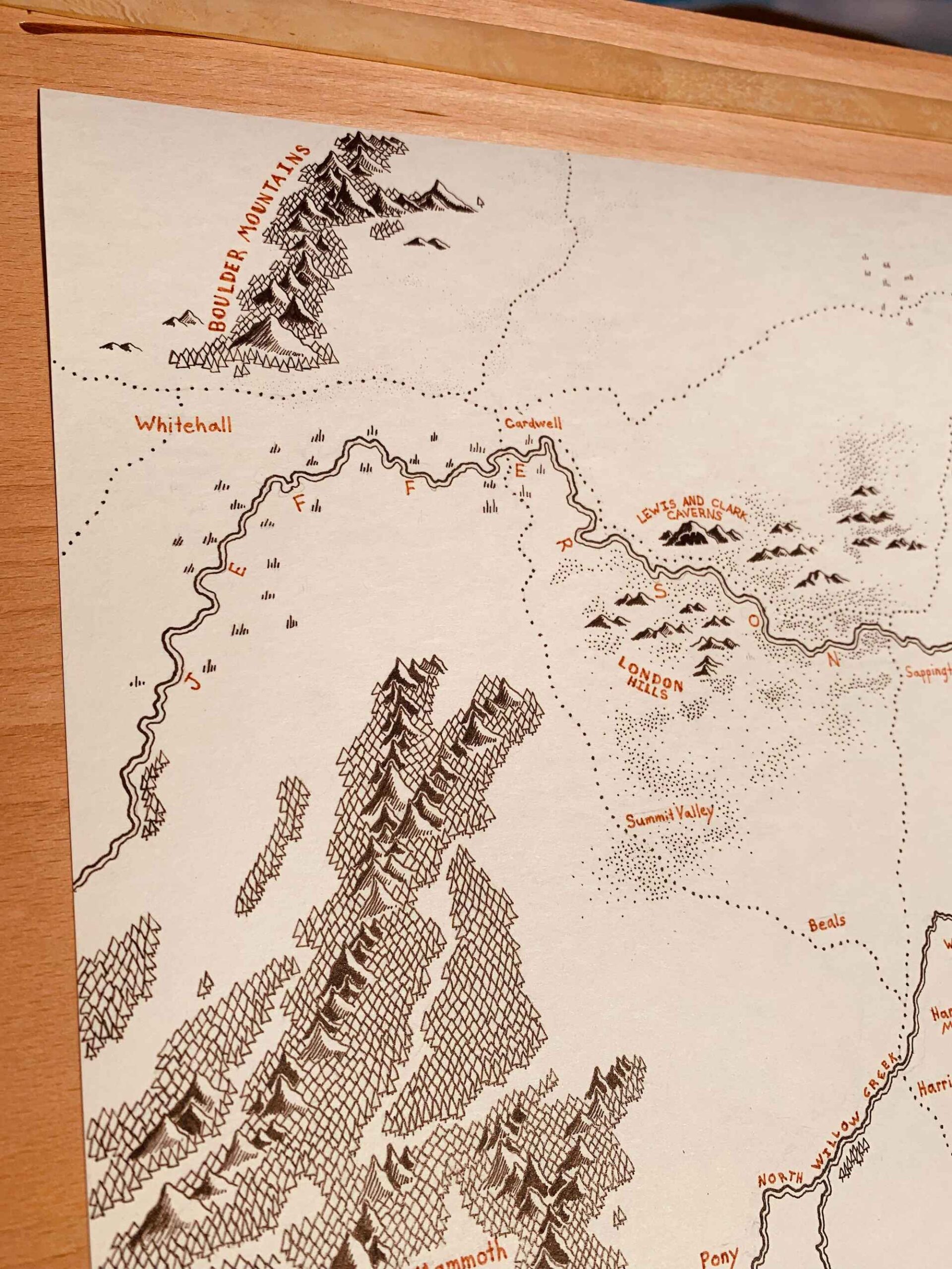
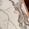
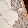
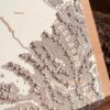
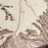
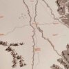
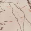
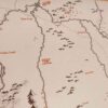
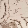
This map encompasses much more than the Gallatin Valley, from the Tobacco Root Mountains to the Bridger Range. A beautiful, varied region of Montana consisting of major towns, the Missouri River mouth, drylands, dense forests, and some of the state's highest peaks. For many people, it's one of the most attractive regions of the state.





Reviews
There are no reviews yet.