What is Lost Dakota?
Lost Dakota was an 11mi2 (28 km2) piece of land that was left out of the division of the Montana, Idaho, and Wyoming Territories in 1864, which Congress forgot about for nine years.
During its existence, it remained an ungoverned, uninhabited land, home to grizzly bears, elke, deer, pronghorn and other wildlife of the region.
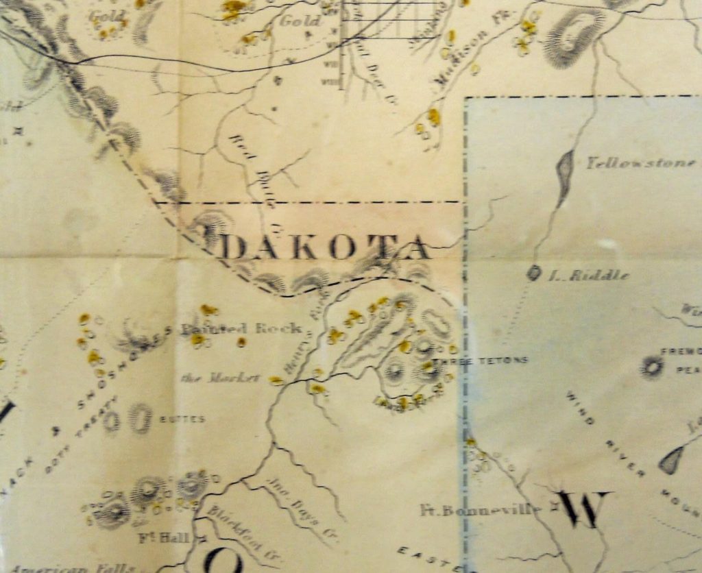
To help you visualize where Lost Dakota was located, imagine drawing a horizontal line from Wyoming to Idaho just above West Yellowstone in southwest Montana, as depicted in the map below:

How did Lost Dakota become a territory?
To understand how the elusive Lost Dakota territory came to be, we need to understand the events that unfolded when Congress divided the Idaho Territory into Montana, Idaho, and Wyoming.
I summarize that below in a few paragraphs, but if you want to know the full story, read this article.
Congress overlooks a small piece of land when drawing Montana, Idaho, and Wyoming
Due to the rapid population and economic growth in the region of southwest Montana and eastern Idaho around 1862, local miners of the area started petitioning Congress to create their own territory.

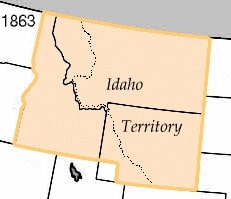
Congress obliged, creating the Idaho Territory in 1863. However, the Idaho Territory consisted of an enormous swath of land, covering all of present-day Idaho and Montana and most of Wyoming.
Split down the middle by the jagged Rocky Mountains, Idaho Territory proved impossible for the administrative center of Lewiston on the far western border to properly govern the entire region east of the Rocky Mountains.

In 1864, at the request of miners located in Bannack and other mining towns east of the Rockies, Congress decided to carve the Montana Territory from the Idaho Territory, giving this region its own governance.
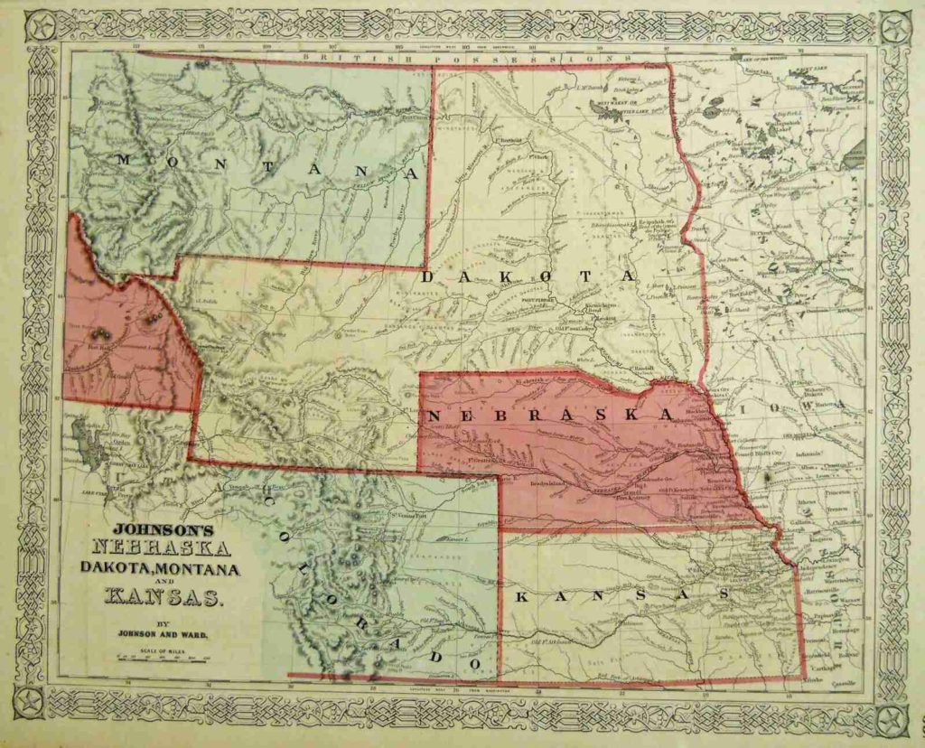
However, the initial proposal for Montana’s boundaries created some problems. The proposal created an impractically shaped Dakota Territory, which included a rectangular shape south of Montana. To resolve the issue, Congress decided to create Wyoming from this rectangular shape.
However, in doing so, they overlooked an 11 mile2 (28 km2) piece of Dakota Territory that lay hidden between Montana and Idaho (see above map) and simply overlooked it or neglected it for nine years.
Thus, Lost Dakota was born.
Nine years of Lost Dakota
This small piece of land, 360 miles (580 km) from its governing Dakota Territory, informally became known as ‘Lost Dakota’ and remained an exclave for nine years before Congress gave it to Montana in 1873.
Lost Dakota map

Why didn’t they just incorporate Lost Dakota into one of the surrounding states from the start?
Due to faulty maps and surveys, Lost Dakota was more or less wiped from any possible public view, resulting in the federal government forgetting about it for most of its existence.
Who lived in Lost Dakota?
No people inhabited Lost Dakota during its existence. It was a wild territory, home only to various wildlife, including grizzly bears, moose, elk, and pronghorn.
During the time when Lost Dakota was created, Montana was in a remote region of the country, accessible only by steamboat up the Missouri River, by horseback, or on foot.
As far as we know, many regions of Montana and the surrounding area were completely uninhabited, including the land that became Lost Dakota.
For nine years, Lost Dakota remained an ungoverned, uninhabited territory that some feared could become a destination for criminals trying to escape the law, though there is no evidence this happened.
Today, the area of the Lost Dakota remains mostly undeveloped. As far as we know, there are few streets or even footpaths crossing the area, and it is densely populated with grizzly bears.
How big was Lost Dakota?
Lost Dakota was approximately 11 miles2 (28 km2), roughly 1/10 the size of Seattle. This exclave was located at the tripoint where Montana, Idaho, and Wyoming meet along the Continental Divide, roughly where the present-day town of West Yellowstone is located.
If you drew a straight horizontal line above West Yellowstone from the Wyoming/Montana border to the Idaho/Montana border, most of the region below that line would be Lost Dakota.


