The print
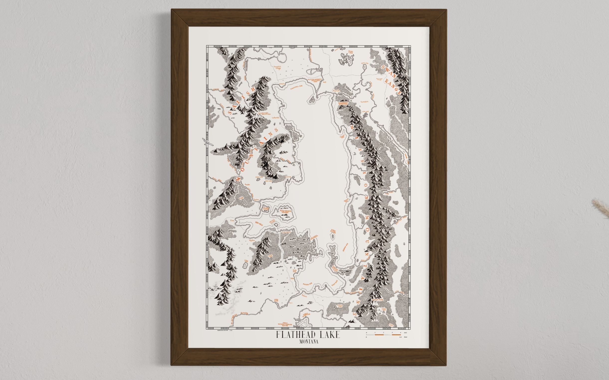
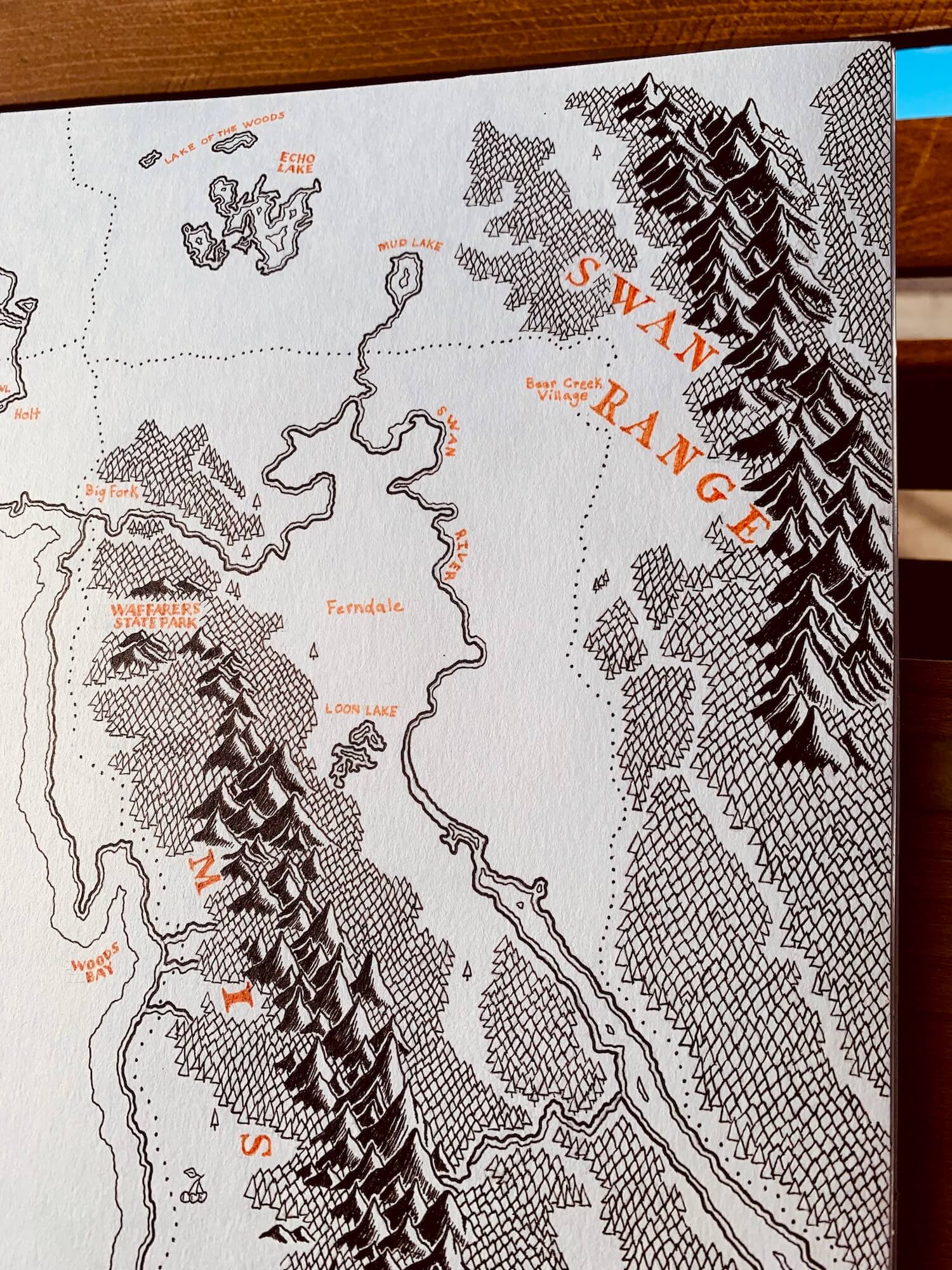
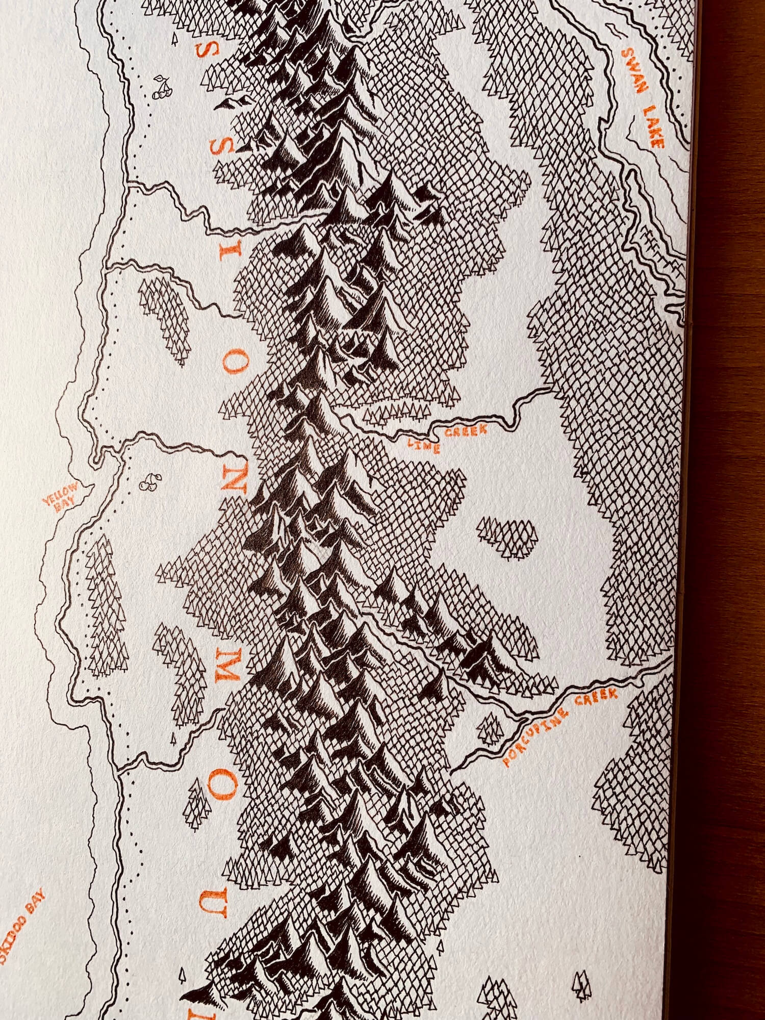
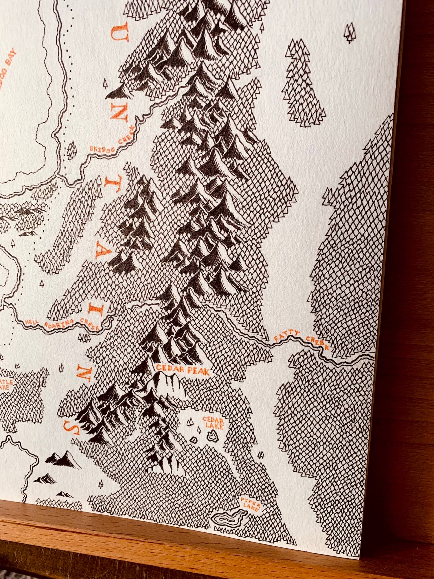
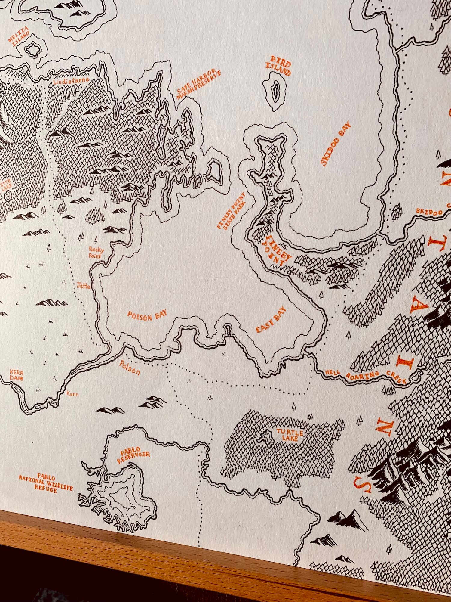
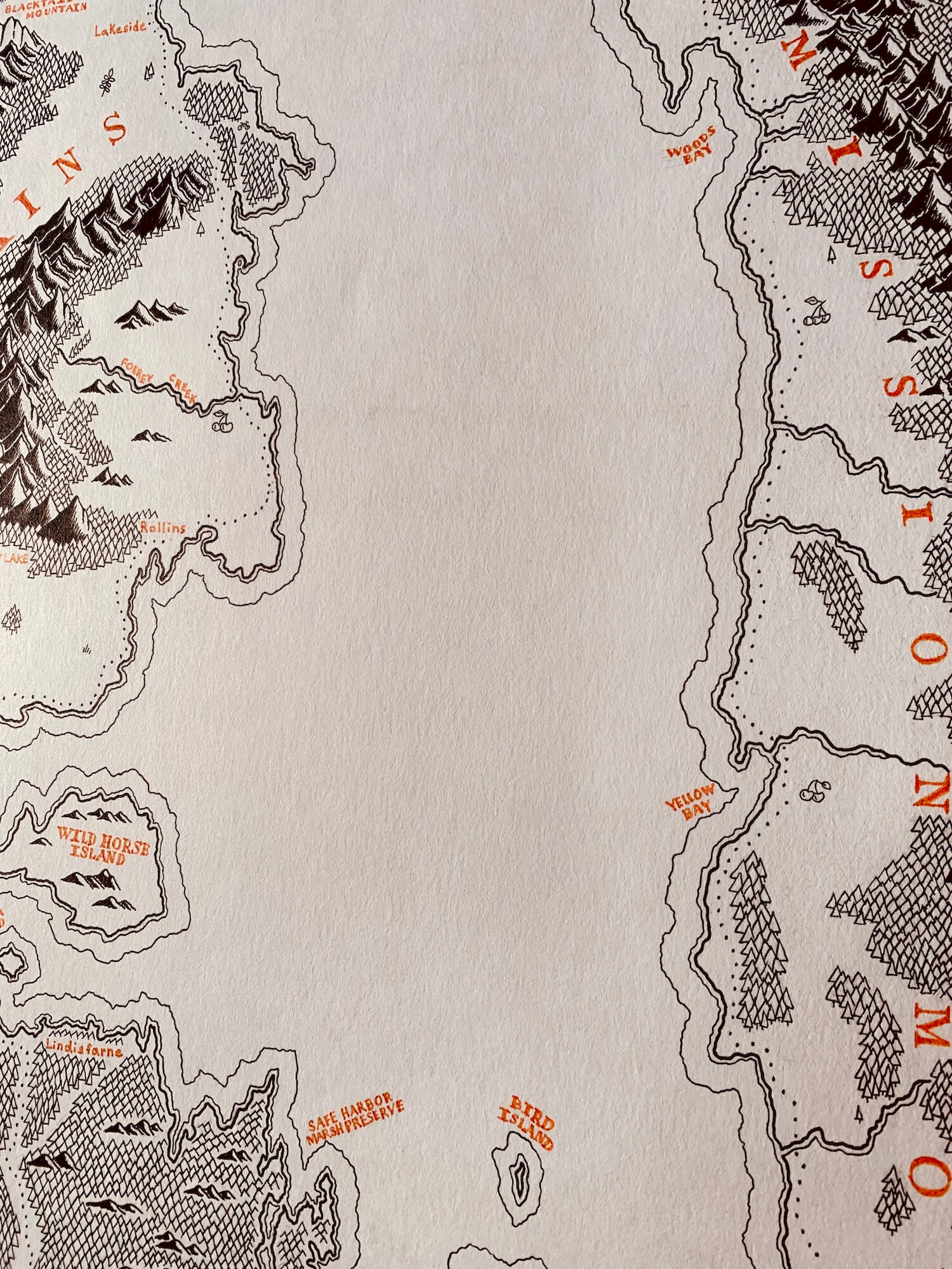
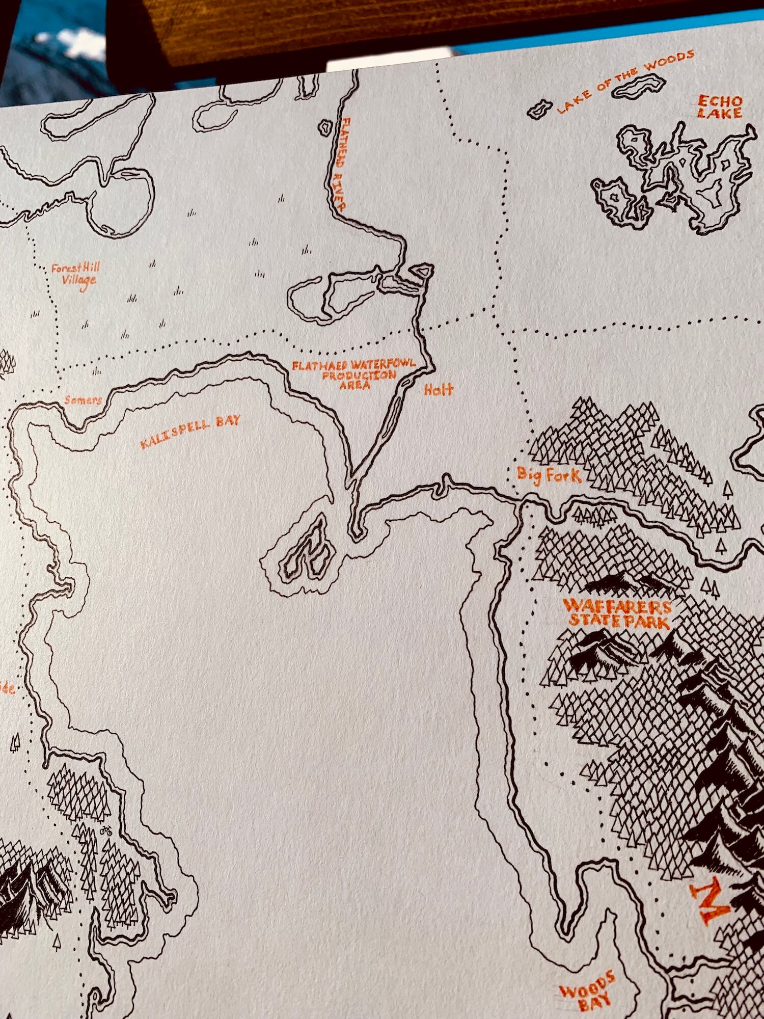
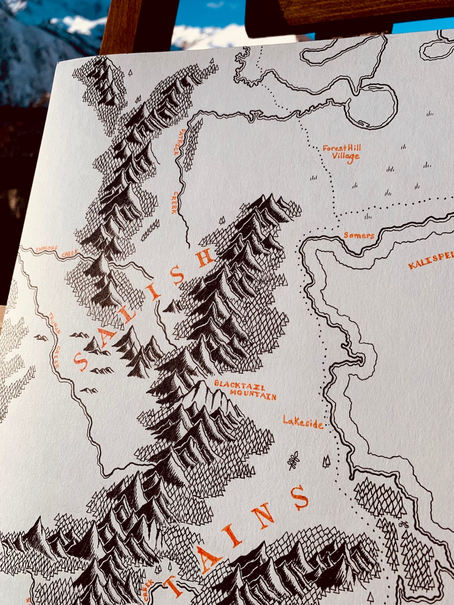
This is a high-quality print of a hand-drawn map on premium Archival Matte Paper - a thick, neutral white paper (230g, like card stock) with a smooth surface.
My frames
My frames are made from high-quality, solid wood with a walnut veneer. By using veneers, I can provide high-quality, authentic wood frames while keeping costs down.
Each frame is 1 1/4" x 3/4":
Width: 1.25"
Depth: 0.75"
Rabbet: 0.50"
★ My maps come without glazing (clear covering). This way, they're visible in all lighting conditions and can be photographed from any angle without glare.
Note from the artist
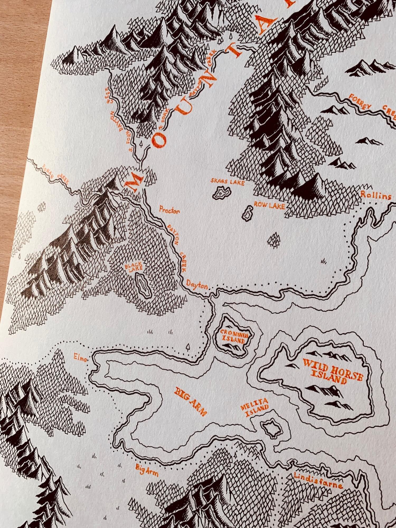
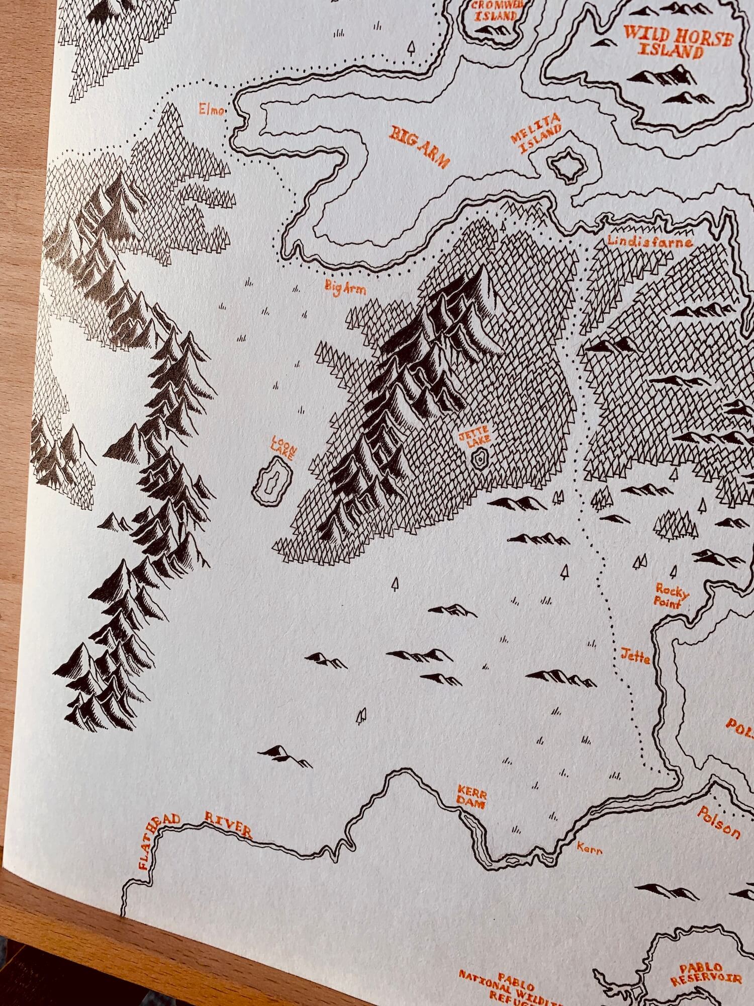
Flathead Lake is an enormous natural body of freshwater in northwest Montana known for its clear waters. It lies between the towering Mission Range and the Salish Mountains and is a great place for boating, swimming, hiking, and camping.
The lake is one of many remnants of Glacial Lake Missoula, an ancient glacial-dammed lake that covered northwest Montana from Butte to Libby roughly 14,000 years ago.
Its known for its cherry orchards, bike park, Skidoo Bay, Wild Horse Island, the town of Big Fork, Wayfarers State Park, and many other sites, all of which are included in this map. See if you can find them all.


Reviews
There are no reviews yet.