The print
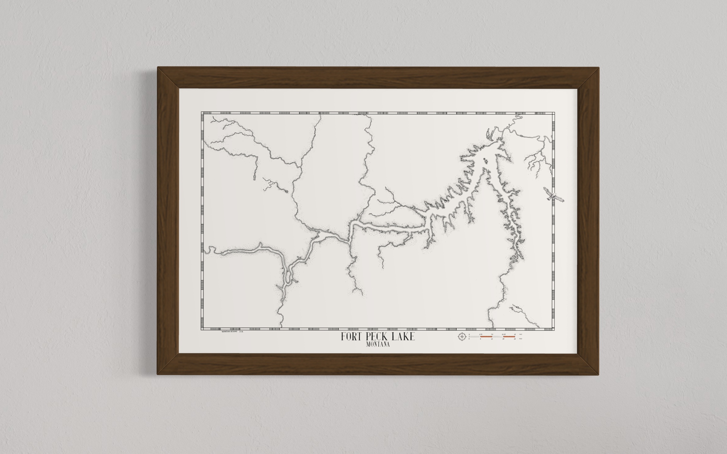
This is a high-quality print of a hand-drawn map on premium Archival Matte Paper - a thick, neutral white paper (230g, like card stock) with a smooth surface.
My frames
My frames are made from high-quality, solid wood with a walnut veneer. By using veneers, I can provide high-quality, authentic wood frames while keeping costs down.
Each frame is 1 1/4" x 3/4":
Width: 1.25"
Depth: 0.75"
Rabbet: 0.50"
★ My maps come without glazing (clear covering). This way, they're visible in all lighting conditions and can be photographed from any angle without glare.
Note from the artist
This is a simpler version of the Fort Peck Lake map. I removed the coulees, draws, and roads from this one to leave a simpler image leaving the dramatic shape of this beautiful lake in focus. This one is more of a piece of artwork than a map.
Fort Peck Lake lies in a 1.1 million-acre (445,154-hectare) protected region called the Charles M. Russell National Wildlife Refuge – a prairie habitat that used to cover a quarter of the United States. This area has remained mostly undisturbed since the Lewis and Clark expedition passed through in 1805.
Once the railroads reached Montana in 1880, commercial and passenger boat traffic up the Missouri River slowly stopped. During the Great Depression in 1933, President Roosevelt decided to construct a dam at present-day Fort Peck for flood control and job creation.
The result is the iconic shape you see today.


Reviews
There are no reviews yet.